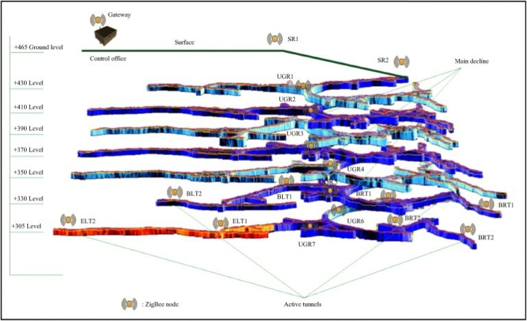
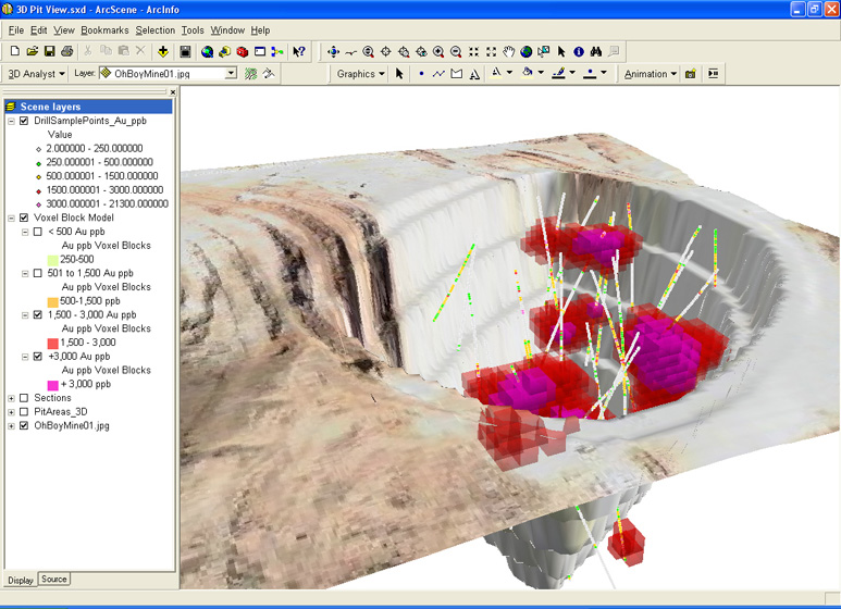
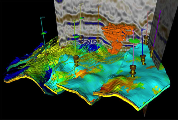
Early in my career I spent some time as a consultant to a large mining company in Nevada – which wanted to view all historic mining rights within areas exploration, using their current 2D mapping system. I didn’t realize the complexity of the task – as claim rights are typically “stacked” subsurface, rectangular areas, overlaying each other in the “Z” axis. Each claim polygon, also linked to attribute databases containing surface owner information, and subsurface lease durations…
At that time, I was working with mid-90’s GIS toolsets…
Now, using Mixed Reality GIS – a claims engineer in the field, can look down at a prospective location – and see, via HoloLens – all claims, and associated data, beneath their feet…
I could not have imagined this, 10 years ago…
Link to vGIS Exploration – https://www.vgis.io/ar-mr-vr-gis-visualization-for-open-pit-mining-exploration-and-production/
About the Author
Since 1994, Len Bundra has managed forty-three Enterprise Geographic System Implementations, for both public and private entities. He has been a Consultant to over a dozen Engineering Firms, acting as a Lead Technical Advisor. For the past fifteen years, Bundra has been the IT and GIS Director for the Toms River Municipal Utilities Authority (TRMUA). While working at the TRMUA, Bundra deployed the first Mixed Reality GIS solution for field utility workers, utilizing vGIS. Bundra is a sought after public speaker, and continues to advise and consult municipalities and utilities as a GIS Subject Matter Expert.


