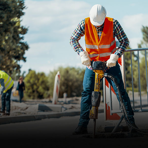
Simplify Job Site Documentation

Streamline job site documentation, reduce costs, and deliver results with confidence—vSite makes it easy. This simple, user-friendly tool enables you to perform 3D scans and collect GIS data with centimeter-level accuracy—in just minutes and with no specialized expertise required.

The Ultimate Job Site Documentation Solution

vSite simplifies job site documentation by combining multiple essential tools into one easy-to-use solution:

  • 360° imagery and oriented images
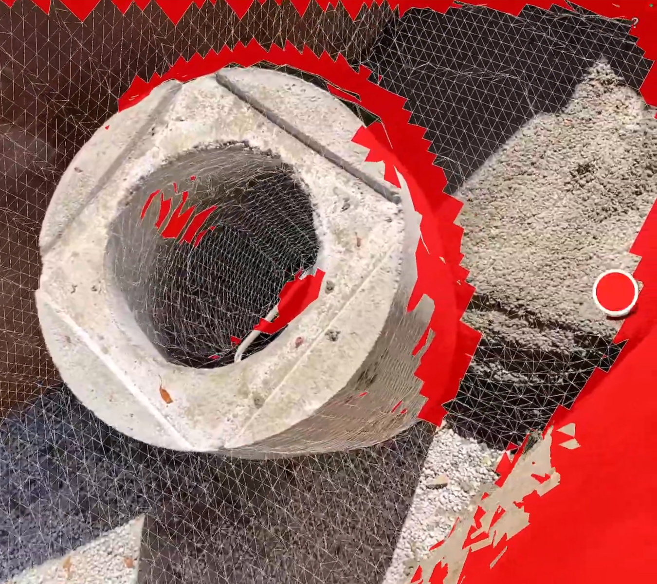
  • Reality capture with LiDAR and photogrammetry
  • GIS data collection
  • AR data validation

With vSite, construction crews can efficiently perform documentation tasks traditionally handled by surveyors—saving time and reducing costs without compromising data quality.

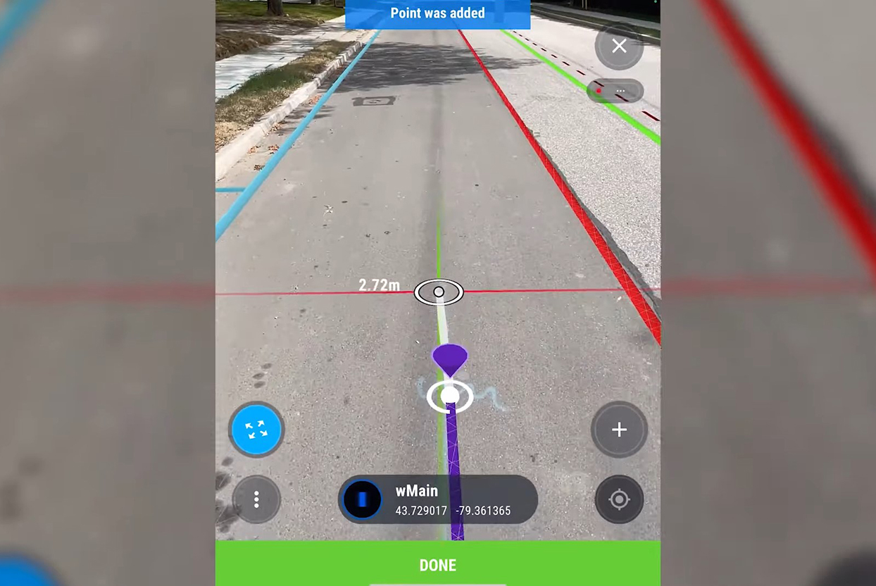
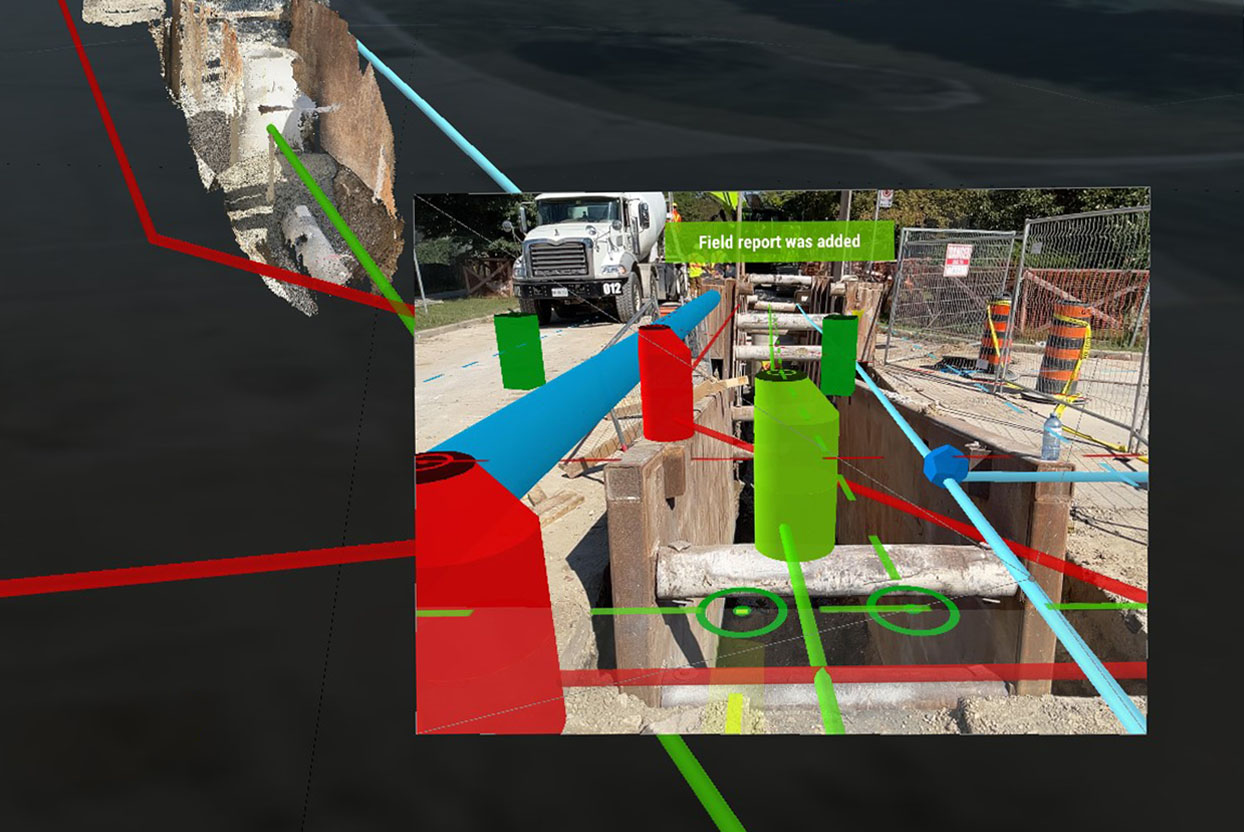
  • Instant Visual Feedback: Identify and fix inaccuracies on the spot with real-time AR visual checks.
  • High Precision: Achieve centimeter-level accuracy to quickly detect and correct GIS data issues.
  • Seamless Integration: Sync data with Esri ArcGIS and other platforms, enabling automatic updates and eliminating manual processing.

Simplify workflows, enhance accuracy, and document your job site faster with vSite—the all-in-one tool for modern job site management.

System Highlights

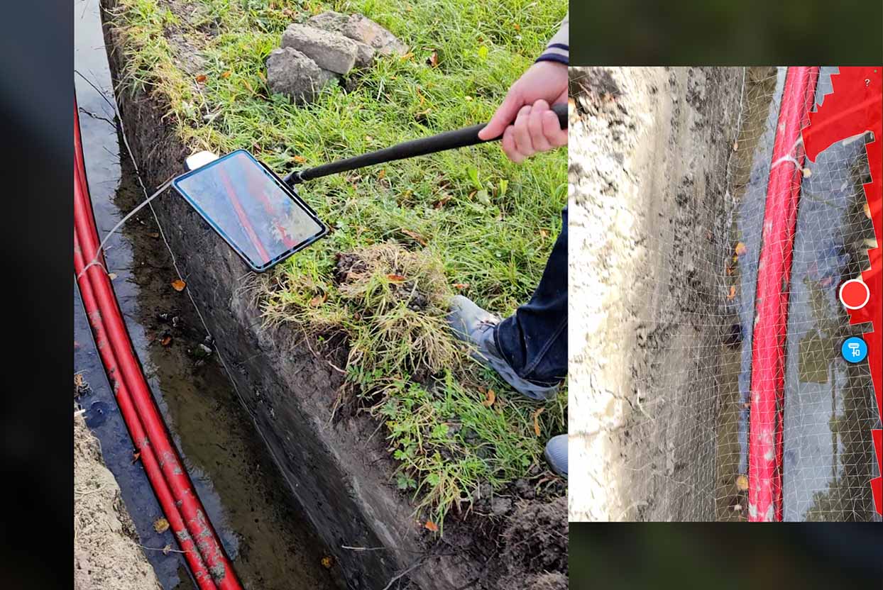
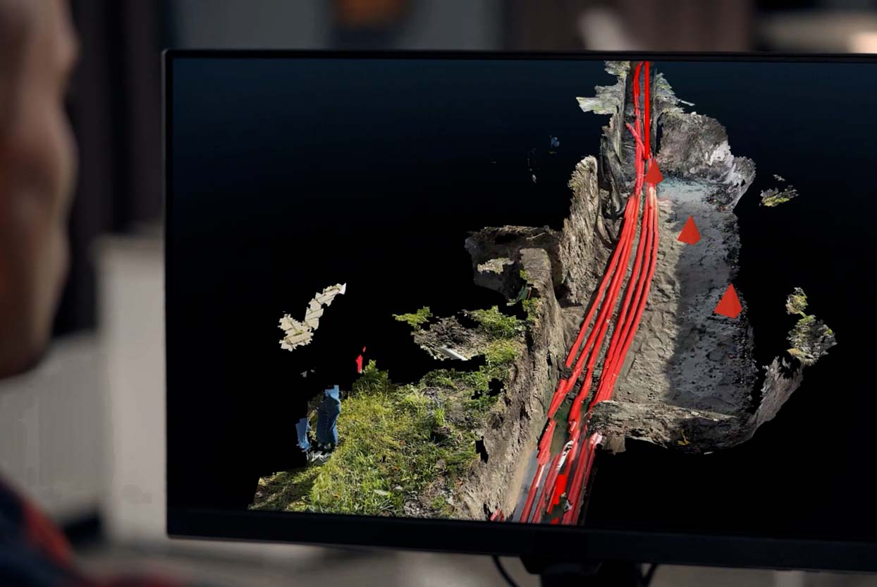
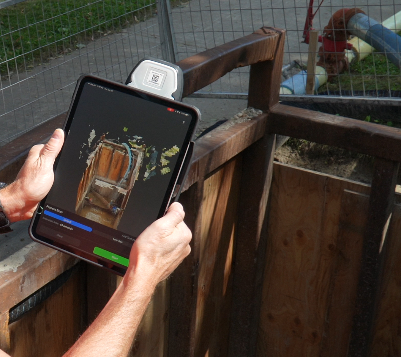
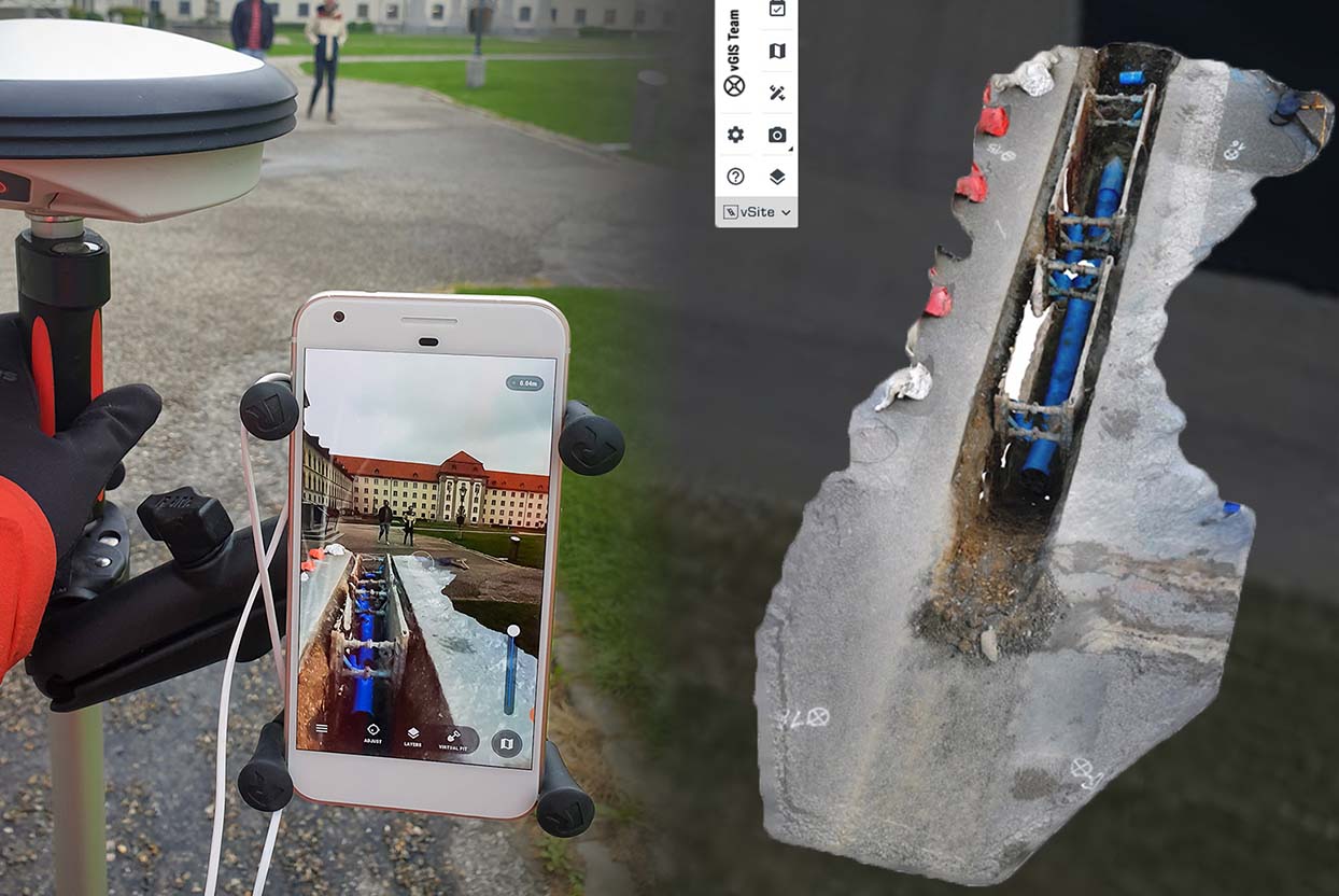
Simplify Job Site Documentation. With vSite, documenting your job site is faster and easier than ever. Use a single platform to collect site-scale point clouds and small trench scans, record GIS data and capture oriented images and 360° imagery.

User-Friendly for Everyone. Designed for non-technical users, vSite allows you to collect highly accurate data with a single button push. Then, data accuracy can be instantly validated using augmented reality to reduce reliance on surveyors for tasks that don’t require specialized expertise.

Flexible Integration. Prefer other surveying tools? No problem! vSite integrates with software like Esri Field Maps and Leica Zeno Mobile. Collect data using your preferred tool, switch to vSite AR to inspect and validate the accuracy of your data—in one session without any extra preparation.

The Benefits of Deploying vSite

  • Empower construction crews to collect data without waiting for surveyors
  • AR visual checks ensure accurate data—right on-site
  • User-friendly, fast, and easy-to-use, vSite turns every crew into surveyors
  • Automatic updates keeps your GIS records accurate and up-to-date
  • 100% Reduction

    in unnecessary survey crew engagement

  • 90% Faster

    data quality validation

  • 6 Tools in 1

    one solution for every documentation need

  • Up to 5x

    more cost efficient than other tools

Learn more

Data collection with high-accuracy AR

Creating a georeferenced site sketch with AR

Collect and update GIS data (Esri ArcGIS and other GIS types) with high-accuracy augmented reality. Instantly validate data accuracy and fix error without leaving the job site.

vGIS's "site sketching" demo. The video demonstrates how to quickly create a georeferenced view of a job site with augmented reality.

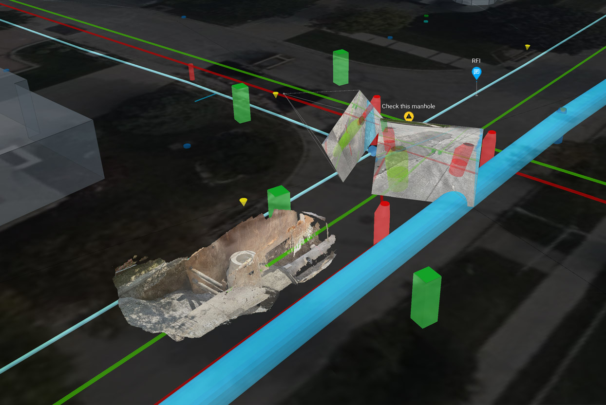
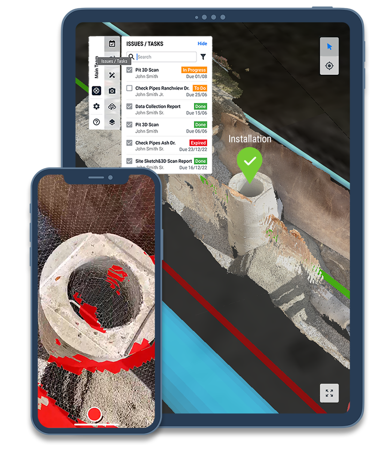
The standout feature of vSite is its seamless data collection process—simply scan the assets and surfaces you need, and the system automatically merges everything into a unified digital twin.

You could add the entire underground utility of a city, and the app stills runs smoothly.

  • Dagfinn Solvik-Olsen, CSO
  • Anko AS

Additional Information

Technical Details

vGIS AR specification and technical details

Learn more

Features

vGIS features

Learn more

System benefits

vSite saves you time and helps avoid costly mistakes

Learn more

We've received your request. Thank you.