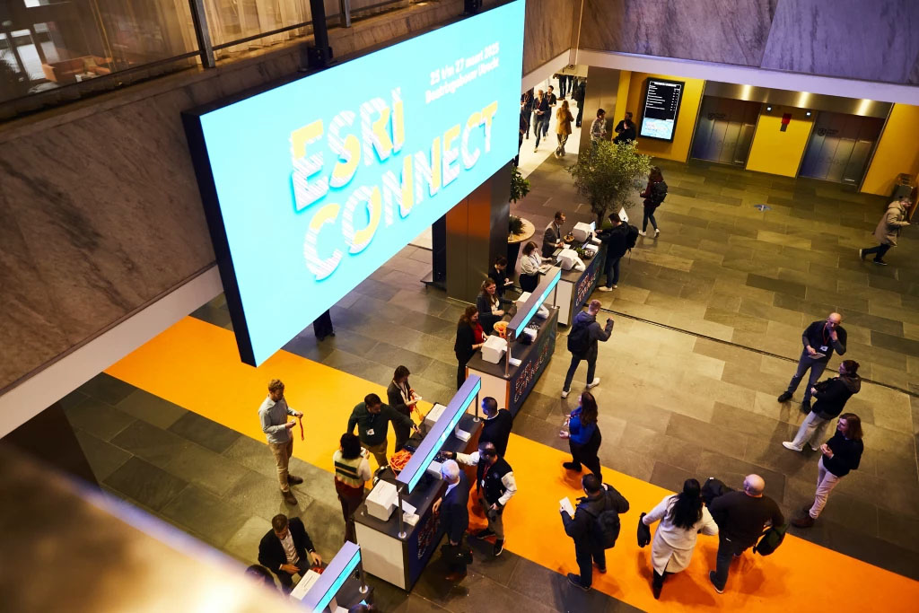
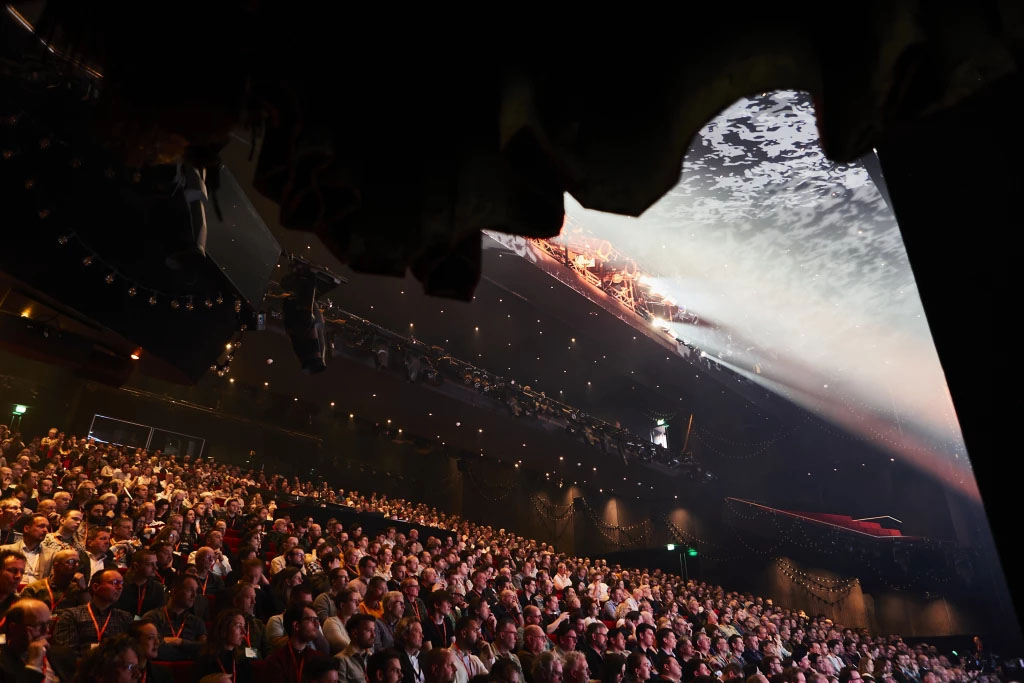
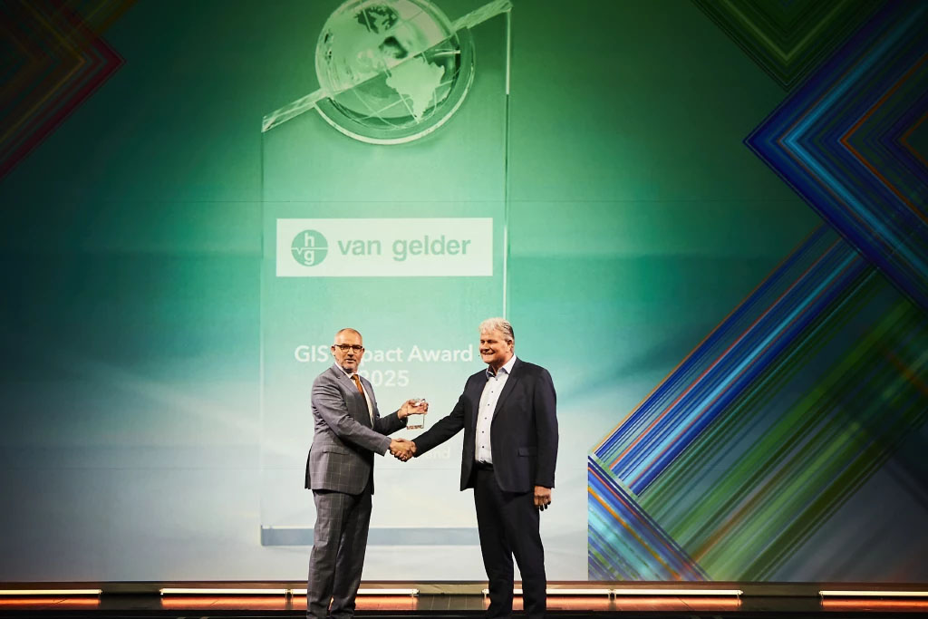
Esri Connect 2025 – What’s New?
vGIS partnered with Net4s at Esri Connect 2025 in Utrecht, Netherlands, to demonstrate how Augmented Reality and Esri ArcGIS Integrations are revolutionizing the way we visualize underground utility data. Held at the dynamic Beatrixgebouw venue, the annual event brought together professionals from across sectors to explore the latest advancements in GIS technology.

Bringing KLIC Data to Life
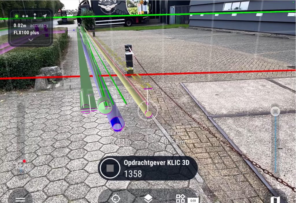
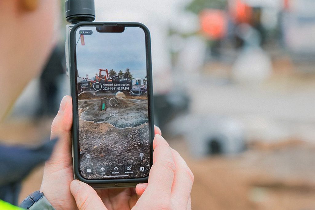
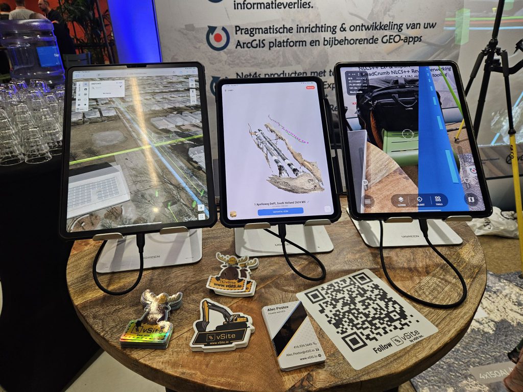
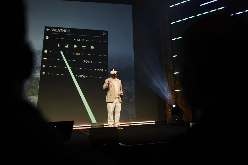
During the event, vGIS and Net4s delivered a live demonstration of Kadaster KLIC (Kabels en Leidingen Informatie Centrum) data powered by AR—transforming complex underground utility information into clear, interactive 3D visualizations. Focused on accessibility and field-readiness, the two teams highlighted how this technology enhances safety, communication, and on-site efficiency for utility and construction teams across the Netherlands—and beyond.
Net4s BV Introduces a Smarter Way to Work with KLIC Data
Net4s brings expertise in importing and processing official KLIC data using the IMKL (Informatie Model Kabels en Leidingen) data model and PMKL (Presentatie Model Kabels en Leidingen) presentation standard. Provided by Kadaster—the national land registry of the Netherlands—this data includes vital details about property boundaries and underground infrastructure.
Once processed, the data is converted into a lightweight 3D model, optimized for real-time use within vGIS’s vSite platform.
Users can interact with this data in two powerful ways:
- In the field via AR – Workers use smartphones or headsets to view underground utilities overlaid in real-world space.
- In the office via the vSite portal – Project teams can review and coordinate using web-based tools, ensuring alignment before breaking ground.
The result: less time interpreting static maps, more time making confident, data-driven decisions.
What This Means for Field Workers
- Eliminate uncertainty around utility locations
- Instant access to verified, up-to-date KLIC data
- Improved planning and safer excavation
- Strengthen collaboration between office-based GIS teams and on-site crews
From road repairs and fiber installation to large-scale infrastructure projects, platforms like vSite help prevent costly errors and keep everyone aligned.
A Partnership Driving Innovation
The collaboration between vGIS and Net4s reflects a shared commitment to making spatial data more intuitive, accessible, and impactful. By combining GIS expertise with advanced AR visualization, we’re enabling organizations across the Netherlands to unlock the full value of their spatial data—on the ground and in the cloud.
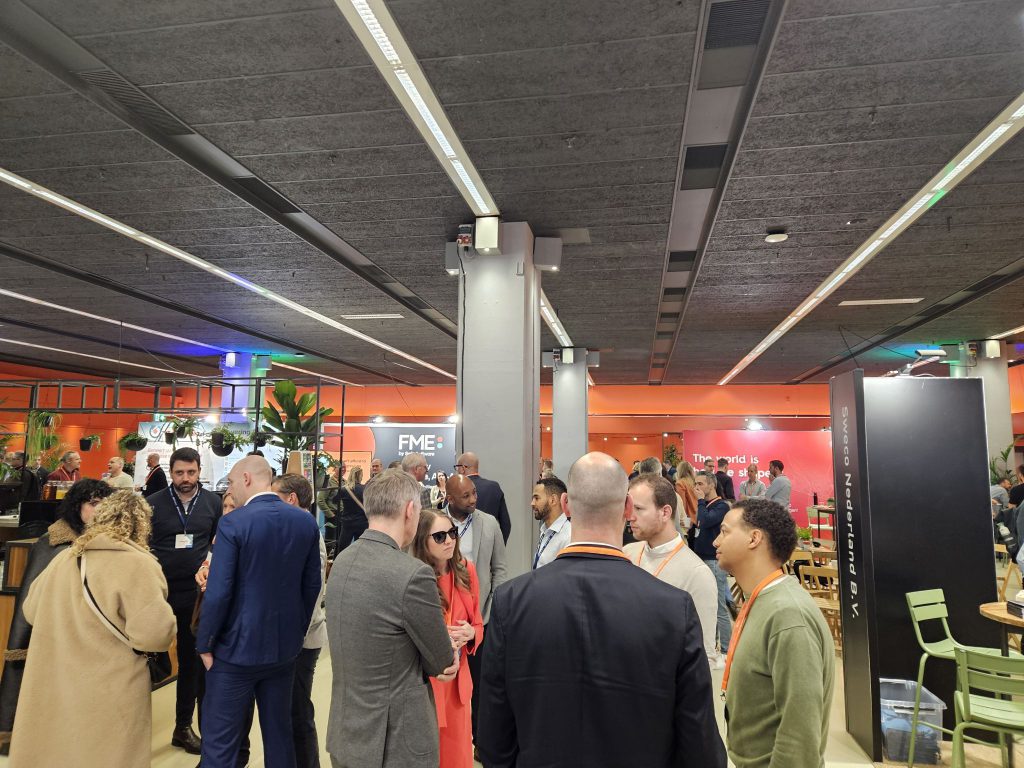
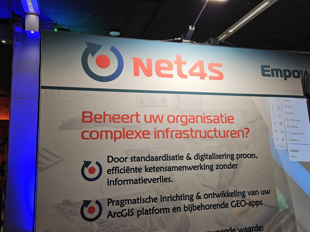
📸 Scroll down for a gallery of photos from the Esri Connect conference and exhibition floor.

Want to meet with the vGIS team in person? See what events vGIS will be attending by following the link below!