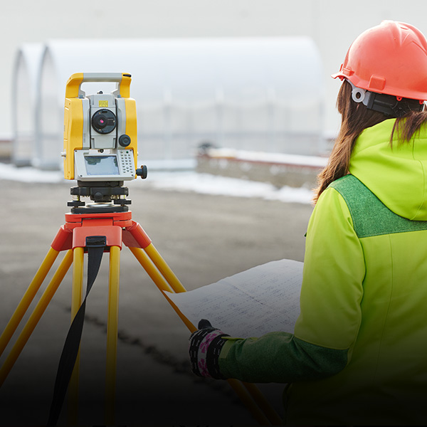
vGIS simplifies the conversion of BIM, GIS and 3D scans (reality capture) into augmented reality (AR), mixed reality (MR), and virtual reality (VR) visuals. vGIS creates instant view of how design impacts job site realities helping you prevent errors that lead to project delays and expensive cost overruns. Explore a few of many reasons to deploy vGIS below.
Exceptional ROI |
vGIS offers proven Return On Investment (ROI) and other tangible and intangible benefits. |
||
|---|---|---|---|
Easy to Adopt |
vGIS works on over 150 Android, iOS, Microsoft HoloLens, and Windows Mixed Reality devices. |
||
Deploy in minutes |
vGIS runs in Microsoft Azure cloud, which eliminates the need to buy and configure servers and system software. The quickest deployment of vGIS was done in 48 seconds, so you can be up and running in no time. |
||
No Manual Data Conversions |
vGIS integrates natively with multiple data sources to process BIM and GIS data automatically and in real-time, which eliminates the need for manual data conversions, saving you time and resources. |
||
No Additional Equipment |
vGIS runs with high-accuracy and high-fidelity on consumer devices without additional equipment. |
||
Any environment |
vGIS allows field workers to see hidden infrastructure through snow, rain, or debris. |
||
Improve safety |
Reduce the amount of time needed for workers to be in roadways or other dangerous locations. |
||
Respond faster |
See hidden infrastructure in real-time, allowing field workers to start emergency response work immediately. |
||
Locate faster |
Hidden assets can be virtually “seen” through the ground, improving locate speed and accuracy. |
||
See relationships |
See and differentiate between two different utility assets for more accurate locates. |
||
Survey-grade accuracy |
Compatible with high-precision GNSS devices from EOS, Leica, Trimble, SXBlue and others to place BIM and GIS assets with up to 1cm accuracy. |
||
Find covert errors |
Using vGIS design teams can review designs in 3D to spot covert errors and prevent cost overruns. |
||
Review designs on-site |
See your designs with survey grade precision on your project site to ensure design accuracy, and design faster. |
||
| Show stakeholders visualizations |
Let stakeholders really see the impact of future projects and help them make decisions faster. |
||


vGIS simplifies the conversion of GIS data into augmented reality (AR) and mixed reality (MR)
Learn more